
SNOQUALMIE PASS, Wash. — A Winter Storm Warning for the Cascade Mountains expires on Monday morning, with snow showers tapering off over the Cascade Mountains, according to the National Weather Service (NWS).
Snow showers will continue into early Tuesday morning, but with lesser accumulations.
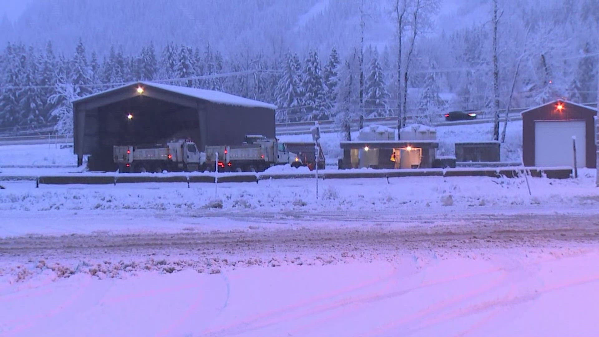
Between 12 to 24 inches of snow was expected to fall on the North Central and South Central Cascades between Friday and Monday morning, potentially complicating mountain pass travel over the weekend. As of Monday morning, the Washington State Department of Transportation advised that there is snow and ice over Interstate 90, with chains required on all vehicles except for all-wheel drive. Oversized vehicles are currently prohibited.
Widespread, steady rain and gusty winds arrived Saturday in the lowlands and stuck around all weekend.
A quick moving area of high pressure will build in later Monday to decrease the showers. The ridge will move through Tuesday morning ending most of the showers. By then, a potent system will be brewing off the coast. Rain will move in later Tuesday as another warm front moves up from the southwest.
The midweek system will also bring mountain snow and strong wind gusts later Tuesday and into Wednesday. We will need to monitor the potential for strong winds in the Cascade foothills late Tuesday. Heavy rain may continue to be a threat late in the week, which may lead to river rises and flooding.